The San Juan Mountains, a majestic range in southwestern Colorado, are renowned for their dramatic peaks and heavy winter snowfall, making them a prime destination for skiers, snowboarders, and winter enthusiasts. However, this winter has been notably different. The region has seen an unusual lack of snow, leaving many to wonder what’s behind this stark change. Several climatic and atmospheric factors contribute to this phenomenon, shedding light on the complexities of weather patterns in the Rockies.
The Influence of El Niño and La Niña
One of the primary drivers of winter weather patterns in North America is the El Niño-Southern Oscillation (ENSO), which includes the El Niño and La Niña phases. These patterns influence jet stream positions, storm tracks, and precipitation levels. This winter, the region has been under the influence of a weak to moderate El Niño event. Typically, El Niño can bring wetter conditions to the southern U.S. and drier weather to parts of the northern Rockies. The San Juan Mountains often find themselves in a transitional zone, where the storm tracks can shift unpredictably, leading to inconsistent snowfall.
Shifts in the Jet Stream
The jet stream, a high-altitude current of fast-moving air, plays a critical role in steering weather systems across the continent. This winter, the jet stream has remained unusually far north, directing storms away from the San Juans and favoring regions further north and east. When the jet stream doesn’t dip far enough south, it limits the number of moisture-laden storms reaching southwestern Colorado.
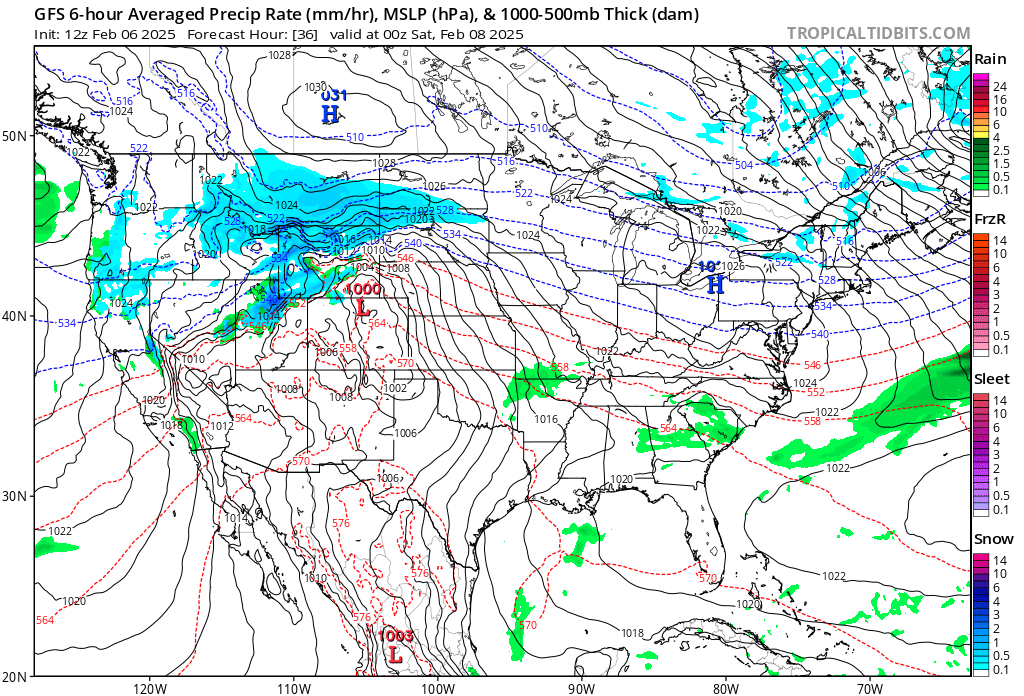
Persistent High-Pressure Systems
Another contributing factor is the presence of persistent high-pressure systems, often referred to as “ridging.” These systems create stable, dry conditions that block incoming storms. This winter, a dominant ridge of high pressure has settled over the western U.S., acting as a barrier to the Pacific storms that usually bring abundant snowfall to the San Juans. High-pressure systems also lead to warmer temperatures, which can further reduce snow accumulation by causing precipitation to fall as rain instead of snow.
Climate Change and Long-Term Trends
While individual weather events are influenced by natural variability, the broader trend of reduced snowfall and warmer winters is consistent with the impacts of climate change. Rising global temperatures can alter atmospheric circulation patterns, affect the strength and position of the jet stream, and reduce snowpack levels over time. In the San Juan Mountains, this manifests as shorter, warmer winters with more erratic snowfall patterns.
What Does This Mean Moving Forward?
The current dry conditions in the San Juans highlight the importance of understanding and adapting to changing climate patterns. While snowfall can rebound in future seasons due to natural variability, the long-term trend suggests a need for communities, recreational industries, and water resource managers to plan for greater unpredictability. As weather patterns continue to shift, monitoring these changes will be crucial for mitigating their impacts on both the environment and local economies.
In conclusion, the lack of snow in the San Juan Mountains this winter is the result of a complex interplay between El Niño, jet stream shifts, persistent high-pressure systems, and long-term climate change. Understanding these factors helps us better prepare for and adapt to the evolving dynamics of our planet’s climate system.
0 responses to “Why the San Juan Mountains Have Received So Little Snow This Winter..”